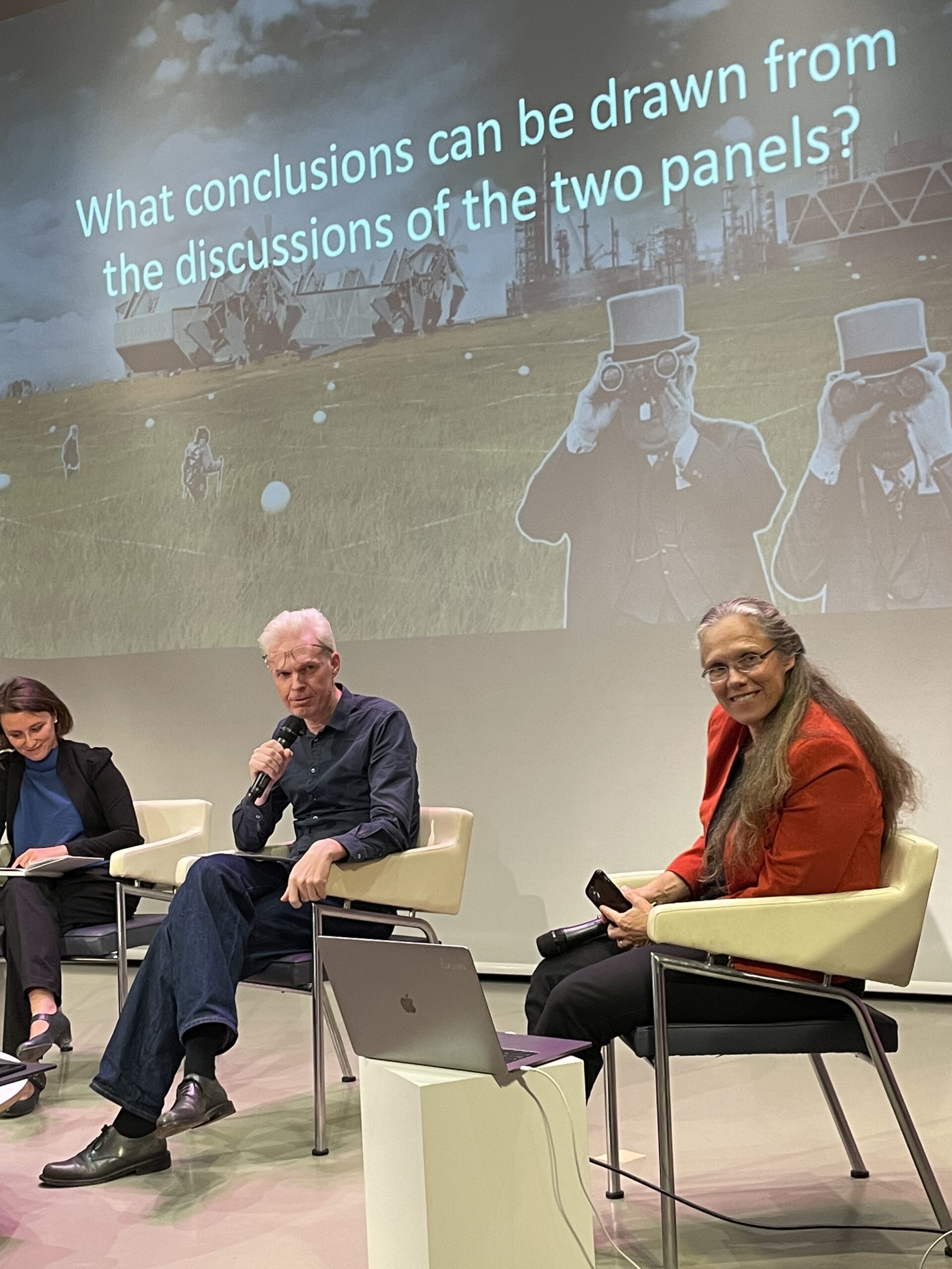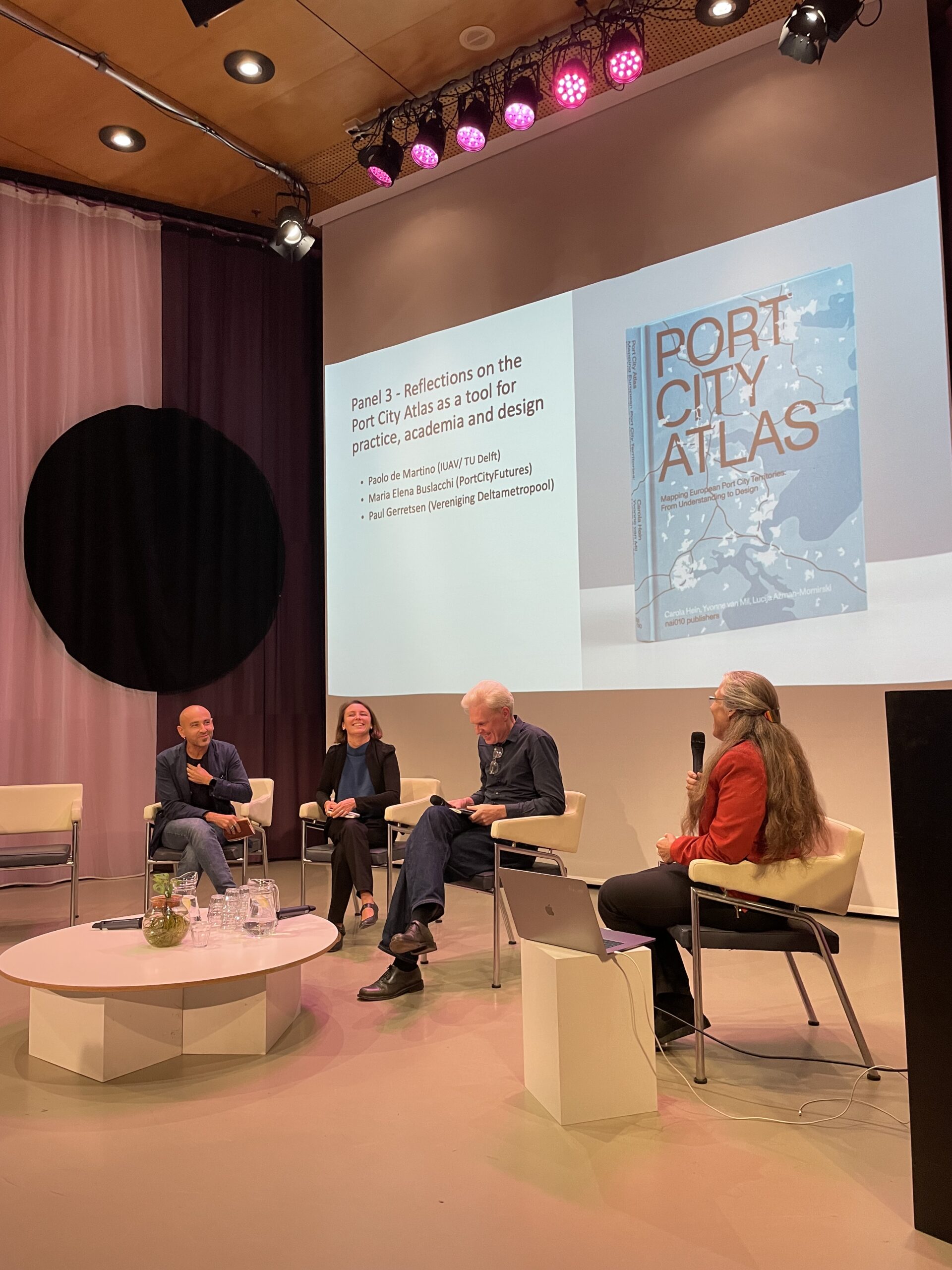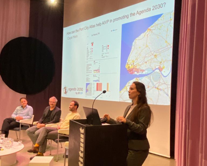
On the 5th of November, the AIVP assisted to the official launch of the Port City Atlas: Mapping European Port City Territories in Rotterdam, organized by TU Delft and Port City Futures. The AIVP has assisted in the book-writing process over the past 1.5 years and put the Port City Atlas team in contact with circa 30 ports. The event encompassed several speeches and panels that discussed subjects linked to the importance of mapping as an analytical and tool and how to implement it in the case of South Holland. Caya Hein, Project leader – Green Transition & Agenda 2030 by AIVP, represented the AIVP and spoke at the official opening. The event was moderated by Prof. Carola Hein, Professor and Head of the Chair “History of Architecture and Urban Planning”.
The Port City Atlas is a comparative tool that collects data related to 100 European port cities, maritime waters, and coasts in one location. The majority of the maps in this atlas focus on local contexts, presenting the port and city, their interface areas, their connections to the hinterlands, and other interesting statistics. However, the atlas also maps the various connections between European ports, such as energy and communication infrastructure, Natura 2000 zones, and watercourses. As hubs connecting the local to the regional and international, it is important for ports to be presented from this perspective as well.
As the president of the AIVP, Mr. Edouard Philippe, stated in his foreword of the atlas: “This atlas is a valuable tool for visualizing and designing the geography of our port cities, which are on the frontline of major contemporary issues such as migration, the energy transition, and digitalization.” The Port City Atlas provides a spatial visualization and data for given areas that can help conceptualize the rather theoretical Agenda 2030. It is clear that the Port City Atlas is a complementary tool to the Agenda 2030 by AIVP and the different tools that support it: the guide of good practices, the self-assessment tool for port authorities and cities that is currently being developed, and the ‘Port City Sustainability’ course program. In each of these tools, the AIVP aims to help its members understand how they can attain the goals that are set in the Agenda 2030 in their own contexts. The Port City Atlas can act as a tool to answer the question of where these different processes and developments need to take place in order to be the most effective. It can help the decision makers of specific port-cities discuss collaboration opportunities and visualize their different jurisdictions.